
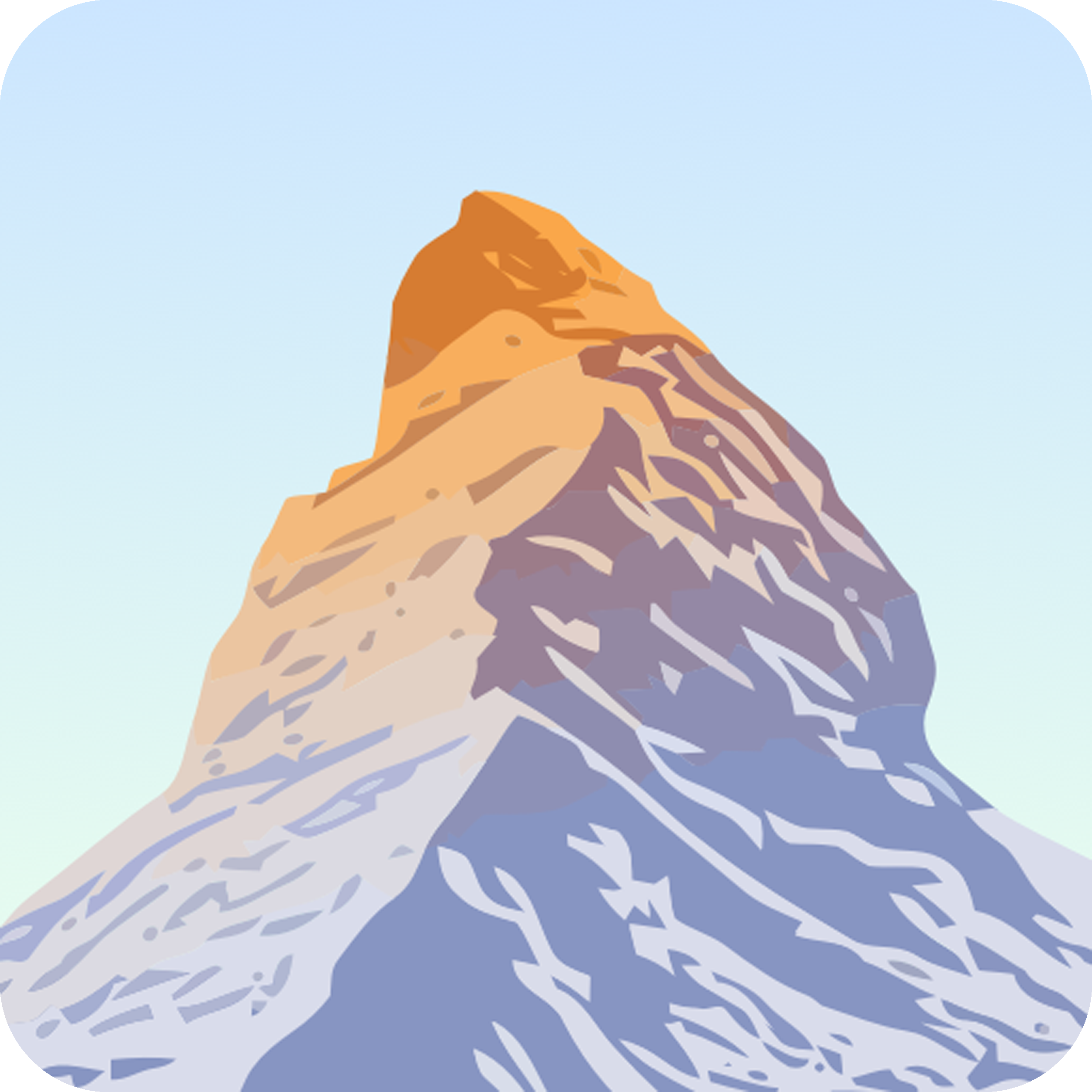
PeakVisor – Skiing and Hiking
Seeing Mountains With New Eyes — PeakVisor completely changes how you experience landscapes. Instead of simply admiring distant peaks, the app uses augmented reality to identify mountains in real time through your phone’s camera. After using it across multiple terrains, the experience feels almost magical—point your device at a skyline, and suddenly every peak has a name, elevation, and story. It transforms passive viewing into active exploration, making even familiar locations feel rich with new meaning.
A Digital Guide for Serious Explorers
Beyond its AR feature, PeakVisor offers highly detailed 3D maps that rival professional mapping tools. These maps allow you to plan routes, analyze elevation profiles, and understand terrain before setting out. During actual hikes, this level of detail proves invaluable, especially in mountainous regions where visibility and navigation can be challenging. It’s not just a visual tool—it’s a practical companion that enhances both planning and execution. The integration of ski routes and hiking trails adds another layer of versatility for outdoor enthusiasts.
Blending Technology With Adventure
What makes PeakVisor stand out is how seamlessly it blends advanced technology with outdoor exploration. The app doesn’t overwhelm you with complexity—it introduces powerful features in a way that feels intuitive. Over time, it becomes more than a utility; it becomes a way to deepen your connection with the environment. Whether you’re identifying peaks, planning routes, or simply exploring, the app enriches every moment with context and clarity.

Uttam Pradhan is a content writer with a strong interest in technology and software. He enjoys exploring new apps, games, and tools, translating his findings into reviews that are clear and accessible.
 Avenza Maps
  Cairn
Cairn  Gaia GPS
  komoot
  National Park Service
  onX Backcountry
  Relive

User Interface
Features
Performance
Security
🌐 AI Software
Ratings are collected from millions of users across platforms such as Google Play Store and Apple App Store.
Users rate the app using a five-star rating system based on their overall experience with performance, features, usability, and reliability.
These ratings are aggregated and averaged to create the overall rating score.
Reviews and feedback help developers understand user concerns and continuously improve the application through updates and bug fixes.
❤️ Rating :
✉️ hdnewslive@gmail.com · 📍 hdnewslive.com
🚨 Methodology
Ratings are collected from user feedback on major application stores such as Google Play Store and Apple App Store. Users can rate the app on a five-star scale depending on their experience with performance, usability, design, and features.
These ratings are aggregated from thousands of reviews to produce the overall rating score. User feedback helps developers improve the platform, fix bugs, and introduce new features in future updates.
App specs
Also available in other platforms & languages
Submit Your Review
You may also like

Gym & Fitness Planner

AI Gym Workout Planner

Workouts & Fitness Plans

Gym & Home Workouts

AI Gym Workout Plans

Workout Tracker GYm Log

Workout Plan Gym Tracker

Strength Training Plans

Training Club

Gym & Home Workouts
Gym & Home Workouts

#1 Audio Fitness App

Get in Shape

Strength & Fitness App

Workout Coach
Workouts & Fitness Plans

Personal Training

Fitness App
Strength Training Plans
Training Club

Fitness & Workouts

7 Minute Workout
Experience Without Distractions

Fitness App for Women
Desk Stretch & Energy

Meditation & Sleep

Relax and Sleep

Sleep & Meditation

Overstimulated Mind

Focus & Sleep Sounds

Mental Fitness

Meditation habit

Meditation & Sleep

Meditate & Sleep

Mindfulness App

essence of meditation

Sleep, Relax, Play

Breathwork + Meditation

Sleep Sounds App
Meditation & Wisdom

AI Calorie Tracker

Food Journal & Diary
Calory AI
Nutrition Coach

AI Calorie Counter

AI Calorie Counter

Calorie Counter
Nutrition Tracker

Water Tracker

Water Tracker

relationship with food

Run Tracker
Run. Ride. Race!

Workout Tracker
GPS Running Tracker

Running Plans & Coach

Personal Best

Run Club
Zombies, Run!
Run Tracker

Hike, Bike & Run
Route Planner

Run, Bike, Walk
Fitness & Workouts

Watch Sleep Tracker

Baby Monitor

Sleep, Reduce Anxiety

Breathe, Sleep, Focus

Sleep Tracker

Sleep Tracker

Soundscape Subconscious

Sleep Tracker & Sound

Sleep Sounds & Stories
Sleep & Meditation
Sleep, Relax, Play
Overstimulated Mind
Focus & Sleep Sounds
Meditation habit
Meditation & Sleep

Wellness Sanctuary
Get in Shape

Authentic Yoga Practice

Streaming Consciousness

Yoga and Meditation

Yoga & Workout
Training Club
breathwork + Meditation
Fitness & Workouts
independent yoga experience

Movement as Expression

Precision Customization

Stretch on the Go
From trusted partner
You may also like
X (Twitter)
TikTok
Behance
Discord
Dribbble
What's App
Likee
Signal
Snapchat
Telegram
Triller
Tumblr
We Heart It
Kwai
Guilded
Slack
TeamSpeak
LINE
Skype

Hive Social

Lemmy

Mastodon

Quora

Upwork

WordPress

Hostinger Website Builder
Alternatives :
Explore Apps · Related Articles
Latest articles: X (Twitter) Free Download
Latest articles: Instagram Free Download
Latest articles: Facebook Free Download
Our Software Review Methodology
📋 Methodology Context:
Our goal is to provide honest, unbiased, and helpful software reviews. Each review is written after researching product documentation, analyzing user feedback, and evaluating key features.
📝 How We Evaluate Software
- Features and functionality
- Ease of use and user interface
- Performance and reliability
- Pricing and value for money
- User reviews and community feedback
In some cases, we test the software directly to understand its real-world performance and usability.
🔍 Accuracy of Information:
Software features, pricing, and availability may change over time. We recommend checking the official website of the software for the latest updates.
This disclosure is provided to maintain transparency and help readers make informed decisions.
📌 Affiliate Disclosure :
Some links on this page may be affiliate links. If you download or purchase a product through these links, this website may earn a small commission at no extra cost to you.
Review Transparency & Disclosure
Independent Review
The software reviewed on this page is analyzed independently based on research, public documentation, and hands-on testing whenever possible. Opinions expressed represent unbiased editorial analysis.
Affiliate Disclosure
Some links on this page may be affiliate links. If you purchase or download software through these links, we may earn a small commission at no additional cost to you.
Ownership & Trademarks
All product names, logos, trademarks, and brand assets belong to their respective owners. This website is not affiliated with or officially endorsed by the software developers unless explicitly stated.
Accuracy of Information
Software features, pricing, availability, and version numbers may change over time. Readers should always verify important information directly from the official website.
Download Responsibility
Users should download software only from trusted sources and review license agreements and privacy policies before installation.
Scroll to the bottom of this disclosure to enable confirmation.